
Seems like only yesterday i was wondering if the edge would hold. Of course, that’s because I actually typed those exact words yesterday. Then, at about 10 minutes to eight, the actual spot in the picture of the Gold Bluffs that I published yesterday, broke off. Off. BOOM, like a mortar landed, and then the whole middle section tumbled down the bluff with a hiss. Nobody got hurt, and we wouldn’t know until this morning if it blocked our road out (it didn’t, not entirely), but boy howdy does it get your attention. Awarding a victory to the edge, it seems, may have been a bit premature.
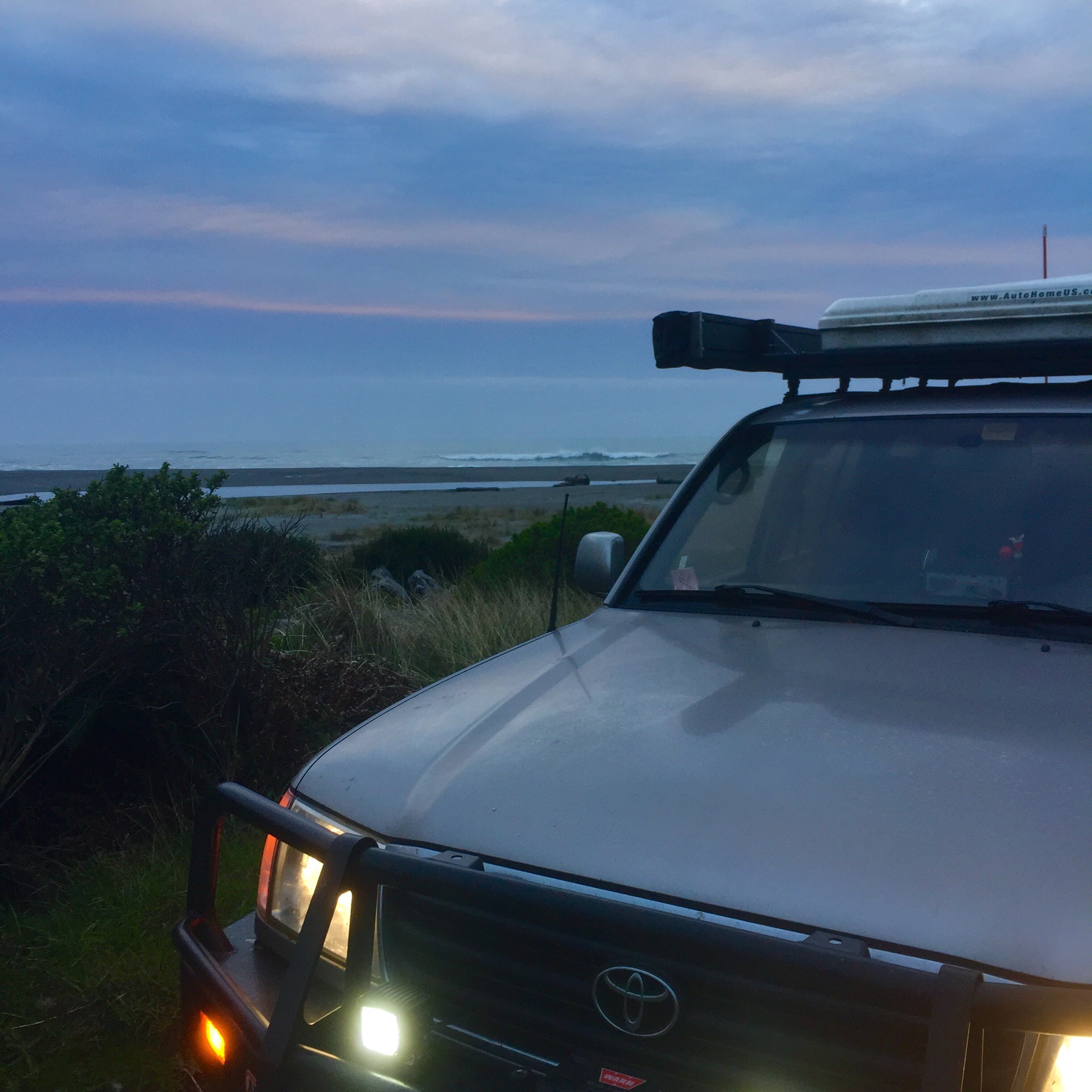
I was up and out early this morning, anxious to check the road and, frankly, anxious to get out of California. I love California, I just feel like over the past two trips I’ve been in it for a long time. I was ready to see Oregon, and learn new things.
It didn’t take long. Since about Eureka, CA, yesterday, I’ve been noting a difference in the edge. Giving credit to the redwoods for holding the banks, I attributed the difference to them. What’s really happening is very different, and may move things a tick more in the direction of the Pacific. It’s at about Eureka that the Cascadia Subduction Zone and the North American Plate meet. This, in fact, rather than the sea and the edge, is where the battle is raging. The North American Plate – that’s us – is moving southwest, and the Cascadia Zone (which is three plates and runs all the way to Vancouver) is moving east. The Cascadia plates are not as heavy as the North American Plate and so they are sliding under it. This pushes the North American Plate up, but it also scrapes off the top of the Cascadia Plates and leaves the resulting sand and rock piled up on the edge. Sometimes the resulting pile is populated by trees, sometimes it is a tumble of rocks, sometimes it is piles of sand. And it is all happening well below us as the country continues to grow and change. As the evidence at Gold Bluffs last night suggests, the edge is always changing.
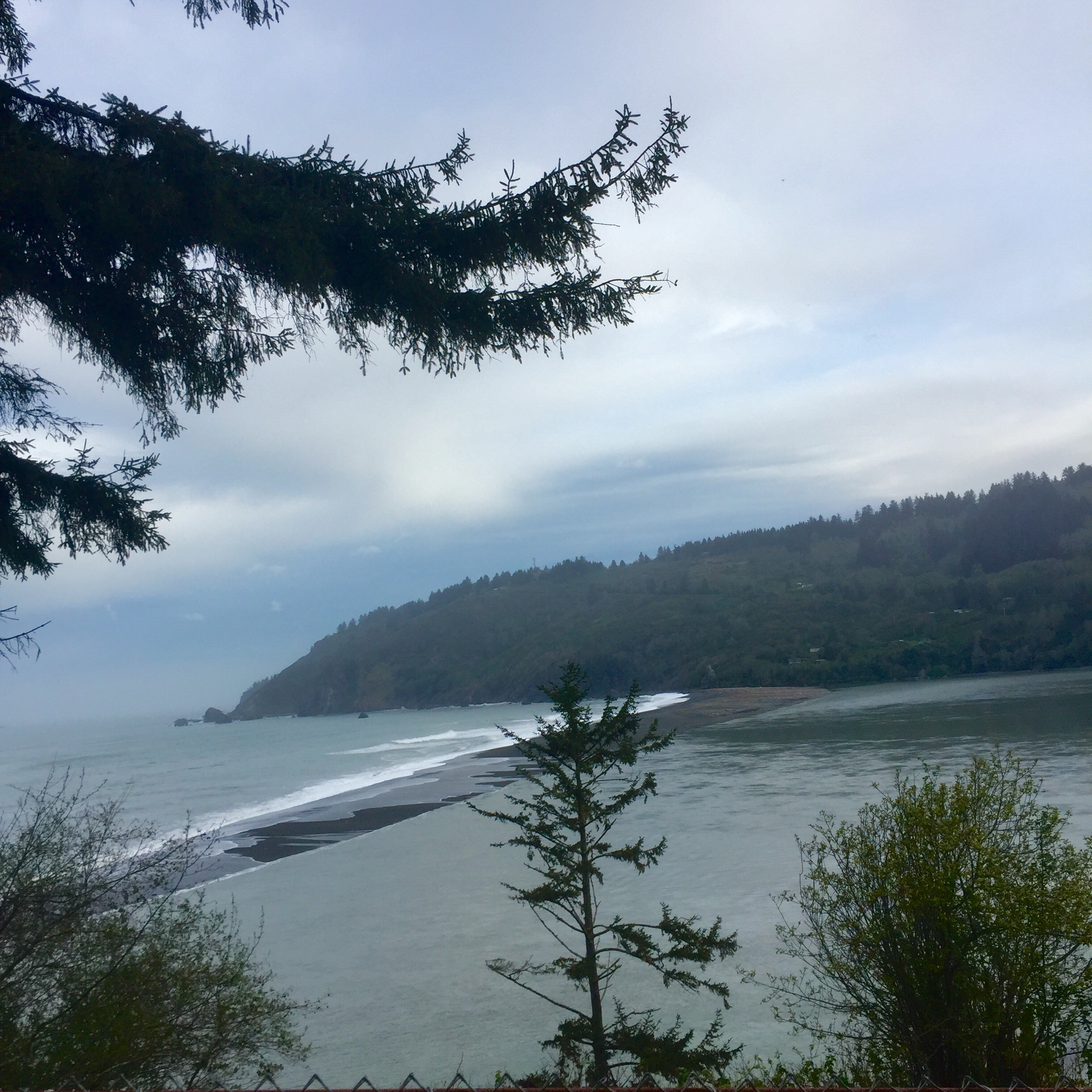
At the mouth of the second largest river in California, the Klamath, I see the shifting sands of the edge face to face. There is a sandbar here where the river meets the sea and it moves contnuously, at some times nearly separating the river from its intended target altogether. Further north, deeper into the Cascadia Subduction Zone, I see a softer edge. To be sure there are still rocky promontories, but things are rounder. There is more earth involved. The valleys are broader and the hills are less violent. Dense groves of fir replace the redwoods and stand, waiting for the axe, as far as the eye can see. This is timber country. Hillsides are dotted with clear cuts, soaking in the sun that will nurture the next generation of timber framing. While unsightly, it only takes seeing a couple that are 10 or 15 years old and full of beautiful young fir to give one a sense of renewal.
I miss the western most part of the Oregon edge at Point Blanco due to a closed road, and have to settle for the second westernmost further north at Cape Arago. Between them, I get up close and personal with the effects of the Cascadia Subduction Zone around Bandon. The famous golf course notwithstanding, the bulk of this area along the edge is massive, Sahara-like sand dunes. Shining tan dunes contrast with the gray sands of the beaches and demonstrate a different a source material. 100,000 years ago is when it started. Sands from the surrounding rivers, chiefly the Umpqua trundled downstream only to be met with a rising coastal plain where the North American Plate slid over the Cascadia Plates. There they piled up, shaped by the winds, and there they remain. The youngest of them began forming 7,000 years ago. Dotted with tree islands of dark green Spruce and Fir, they are oddly beautiful.
Just north of the dunes, I find Cape Arago. Bang out into the ocean north of the shipping village of Coos Bay, it is marked by the Cape Arago Lighthouse steering boats clear of the rocky Wilsons Reef. Sir Francis Drake supposedly anchored up here in the shelter of the point in the early 1500’s and the cape is named for his French surveyor. I chat with an old dude sitting in the wind with his binoculars who comes here regularly to look for whales. He doesn’t photograph them, he just looks at them. Said he’s been doing it for years. He seems supremely happy.

I’m anchoring up tonight in Reedsport, OR. There isn’t much here, but I did find a decent hotel. After a week and half mostly sleeping outside, I could use a little re-boot. Tomorrow I will keep pushing north to the Washington border at Astoria and, perhaps, make a side trip inland to see Mt. St. Helens. I expect to have many more of my pre-conceptions and ill-drawn conclusions shattered along the way.

“I chat with an old dude sitting in the wind with his binoculars who comes here regularly to look for whales. He doesn’t photograph them, he just looks at them. Said he’s been doing it for years. He seems supremely happy.” Perhaps the ghost of Monsieur Arago, who’s been watching the whales for 500 years.
LikeLike