
After getting to Sea Rim State Park last night to stay I faced three problems: 1) Sea Rim has endured some pretty bad hurricanes in the not too distant past. As a result, what has been rebuilt has the charm of an Omaha Beach pillbox. And rather than provide beachside camping, they opted for an asphalt parking lot with numbers on it. Disappointing but not insurmountable. 2) the Gulf has apparently decided Texas highway 87 is not to be, and reclaimed a huge sections of it west of Sea Rim. Consequently, my route to Galveston this morning would be blocked and I’d have to go back and around through Winnie, TX. Not acceptable since I’d likely not make the barrier islands I had in mind by tonight, but I’m supposed to be flexible. 3) I had to drive around three, three, snakes between he entrance to the park and the camping area. One, interesting. Two, hey you don’t see that very often. Three, sign from God. So I returned to Winnie, checked into a motel and went for a drink. Such are the choices we make out here on the edge.
This morning I headed south again, but angled westward so I could pick up the good section of 87. The route carried me south on 124 around the Anahuac Wildlife Refuge to the beginning of the Bolivar Peninsula where I picked up 87 again for the westward run to the Bolivar Galveston Ferry. The Bolivar Peninsula is a nice edge, but nothing special. No drama, no challenge, nothing to distinguish it save the presence of the waters edge.
The ferry ride is free and drops you off on Galveston Island. Which is on the edge. But here the edge is likely to take the form of a neon shirted carnival barking taffy puller struggling mightily to coerce would be middle class munchkins to throw up their Bubba Gump shrimp basket on the Pleasure Pier tilt-a-whirl before getting a $15 face painting of an unnaturally glittered dolphin. But I digress. I’m supposed to find and explore the edge not judge it. So, Galveston Island is an edge. And I found it and drove the length of it.
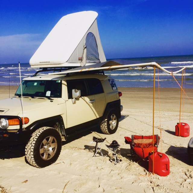
I followed the Blue Water highway all the way to Surfside before angling inland to cross the Brazos at Brazoria and continuing south through Bay City and onward to Port Aransas before crossing back to the barrier islands of Padre and Mustang. The Edge in Southeast Texas is largely barrier islands. Padre and Mustang are National Seashore, largely undeveloped, exposed, windswept and beautiful. Matagorda is probably the same (just to their north) but there is no road to it that I can find. Bracketing this natural edge that protects and renders commercial the various ports along the coast, are Galveston Island and South Padre. Like so much Vegas advertising they hawk the wares of escape, play act the role of island protectors, find the lowest common denominator and take his money. No one said there were no pirates out here on the edge.
