Returning to the Edge 2017

It’s time to go again.  Spring is in the air and the edge is on my mind.  I’m leaving in a couple of weeks.  This prep time is a confounding period of excitement, worry, and careful consideration of all potentialities. First on the list are a few vehicle additions. I’ve crafted a set of storage drawers for the truck that provide a nice level load platform and two big storage drawers, one for the kitchen and one for the tools/recovery gear.  This allows me to keep everything organized and out of the way while giving more usable space luggage and water.  I’ve also reached out (again) to the marvelous folks at Equipt1 Outfitters (www.equipt1.com) who supplied the K9 roof rack before the last trip.  This time I’ve purchased a new awning from them.  Gone is the old home made one which, while serviceable, was proving to be a pain in the butt to set up alone in the wind.  Arriving soon is the Eezi-Awn Bat Manta Swift.  Look for it in the photos from the road.  And do use Equipt1 anytime you need overloading gear.  They are the very definition of great service and great product.

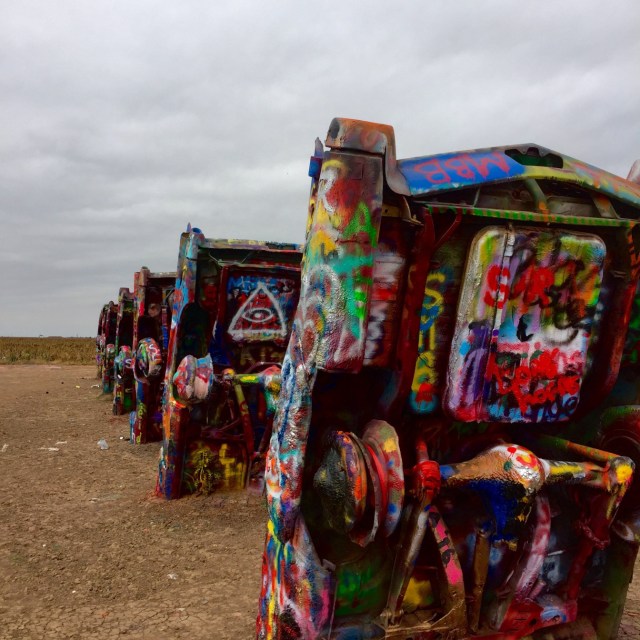
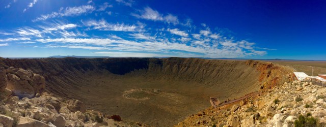
Next, of course, is some sense of route.  I have to get back to the western edge, just north of Los Angeles to pick up where I left off and, on paper, this would be (another) long drive across the country via mostly I-20 and I-40.  I can’t bring myself to do that route again. So I’m going to head north and loop through the great grasslands before dropping diagonally across Nevada into Needles, CA and from there over to the coast.  It will take a little longer, but it will be different country.  I’m into that.  After that, the edge is pretty easy — or it would be if the Pacific Coast Highway wasn’t busy falling into the Pacific.  I will use it as much as I’m allowed, and venture inland when required.  One trip inland will be to see Pinnacles National Park, but other than that, I will hug the edge up California and Oregon and Washington camping mostly on the beaches of various state parks.  In Seattle I will pick up my son and we will visit Olympic National Park and maybe Ranier and Cascades before we are joined by the rest of the family for a little stay on Vashon Island.  After that, it’s a turn to the east, staying on the northern border as long as my stamina allows before diving south to home.

So, it’s time to snap the picket stake again and set off.  I hope you can join me via the nightly notes and photos I post.  For now, I will spend a couple weeks organizing and packing, with the siren of adventure ever in my ears.

5,310

I completed my most ambitious adventure to date after 5,310 miles.  From Atlanta to the southern edge where I last left it — at the west gate of Big Bend NP — and from there along the southern border to Imperial Beach, CA, and finally, up the western edge to Los Angeles, CA.  I turned inland a few times, most notably to Joshua Tree, NP and then to Coachella for a four day music festival, before returning to Laguna Niguel, CA and then heading home.  I was on the road for 19 days.

Continue reading “5,310”

Trying and Failing to find Mother

img_3747

The day really couldn’t have started off any better.  From Kingman, all the way to Ash Fork, Arizona, old Route 66 was exactly as I had left it the day before.  North out of Kingman it climbs through a canyon flanked by high bluffs that shade the morning sun. Through the towns of Hackberry and Valentine, still gaining altitude and still producing wonderfully framed views of canyon wall and sky, the route is relatively smooth and you can make good time.  In Truxton, you begin to make the first topping out — the canyon walls spread out and the floor rises and you can feel the sense of space increase.  By Peach Springs you are in the broad rolling grasslands of the Hulapai people.  Shielded in the distance by high mesa walls, this open grassland, with a readily accessible aquifer, feels like exactly the sort of home these Indians would seek.  I can imagine vast bufffalo herds on these grasses, and deer and other animals in the shallow draws.  This is the Hulapai’s southern edge — they go all the way up to the Colorado river on the southern rim of the Grand Canyon, and they continue east all the way to the Coconino Plateau. What a piece of ground this is.

Continue reading “Trying and Failing to find Mother”

The Mother Road

img_3730

We bid farewell to the western edge under a thin marine layer of clouds and cool morning temperatures.  After a walk on the beach and a great breakfast at the incomparable Montage Laguna Beach, I dropped Leah off at the airport in Santa Ana and headed Northeast for Barstow.  For the first time in 15 days, I am heading east.  At Barstow, I pick up the origin (or terminus, depending on your perspective) of Interstate 40.  A sign points out that if I stay in my lane for another 2,500 or so miles, I will arrive at Wilmington, NC.  My plan is not to take I-40, but rather to find the Mother Road, Route 66 and use it for as much of my trip east as possible.  There is not a lot of thought to this — basically, I figured if I rode the hemline west, I should ride the waistband east, on the oldest route possible.  Should be interesting I figure.

Continue reading “The Mother Road”

You Better You Better You Bet

fullsizerender-7

It could be the amount of walking, the heat, or, er, the liquid part of the diet, but whatever the cause, we are sleeping like zombies here at Desert Trip.  No sooner are we tucked away in our rooftop tent with the cooling desert air blowing through the screens than we are out.  Stone dead until daybreak.  I haven’t slept like this in years.

Continue reading “You Better You Better You Bet”

Start me up

img_3672

After transitting the southern edge, variously ranging from complete isolation to almost complete isolation to Sand Diego; things got a lot closer at Desert Trip.  On the Empire Polo Grounds in Coachella, CA, Desert Trip is a three day festival featuring the Bob Dylan, The Rolling Stones, Neil Young, Paul McCartney, The Who and Roger Waters. Leah flew out to LAX and shuttled over and we are camping on the grounds.  With a LOT of other people.  Attendance estimates are 75,000+ each day.  I don’t know how many are camping – I can’t see the end of the camping area.

Continue reading “Start me up”

Joshua Tree

img_3596

It seemed perfectly normal to overnight at Lake Elsinore.  There is some history to the lake, there is a scenic drive over to Joshua Tree, and I’d been at it over 8 hours. None of this bears any knowledge of California freeways. What I thought would be a nice little drive around Mt. San Jacinto and into Desert Hot Springs, and from there the West Gate of Joshua Tree, turned into a contest in following the GPS lady — who DOES know about California freeways, and more particularly, the penchant of Californians, who also know the freeways, to cut through and between anything on any road in order to avoid the jams. Staring at a map I can’t tell you how I got to Joshua Tree.  But I did, thank God.

Continue reading “Joshua Tree”

The corner, and the end of an edge

img_3568

Somehow my body clock has stayed on east coast time this whole trip. I don’t know why, but it means I get up at about 4 am every morning.  Driving at dark kind of defeats the purpose of all this, so I find ways to use the time and then get on the road at sunrise — which is usually around 6:30. So this morning at 5 am in Gila Bend, I was up and reading the news when it sounded like someone suddenly started emptying a horse trough on the roof. It’s raining.  In the desert.  At 5 am.   Continue reading “The corner, and the end of an edge”